Tactical Analyst (TA) is a multi-platform Common Operational Picture (COP) that assimilates your data from multiple sources in real-time, providing comprehensive situational awareness and incident management capabilities. TA provides everything you need for collecting and viewing real-time operational data in one place.
The platform integrates tactical field data with detection systems, advanced mapping tools, resource tracking, and field observations to deliver a continuously updated overview of incidents and agency resources from start to finish.
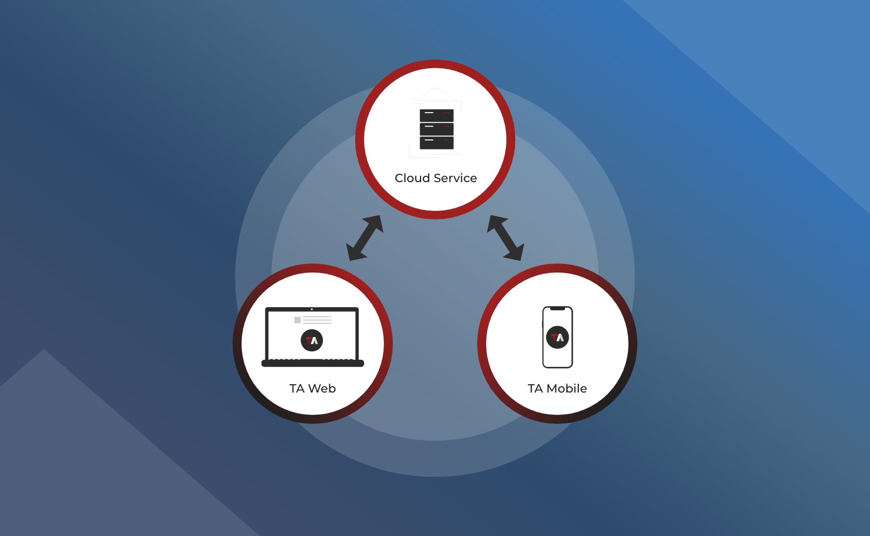
Platforms
Tactical Analyst Web (TA Web)
The web-based viewer provides advanced tools and capabilities for managing incidents, creating map products, and coordinating operations from command centers or offices.
Tactical Analyst Mobile (TA Mobile)
The field companion app enables personnel to collect data and observations on-site while viewing the same operational picture as web users, even in disconnected environments.
Seamless Data Synchronization
Data collected through TA Mobile, including disconnected offline editing, seamlessly synchronizes with the web platform. This ensures tactical field information integrates easily with planning data, allowing operational staff to share critical information across the organization with a click of a button.
Key Features
-
Real-time Tracking: Incident and resource tracking with IRWIN and CAD system integration
-
Data Integration: Seamlessly connect disparate data sources and services into one unified view
-
Situational Awareness: Comprehensive data collection and integration for complete incident visibility
-
Collaboration Boards: Map augmentation and collaborative planning within agency groups
-
Impact Analysis: View population and building data for user-defined areas to assess potential incident impacts
-
PDF Map Products: Generate simple or advanced maps including Incident Action Plan (IAP), Briefing, and Operations maps
-
Custom Views: Save map views, layer presets, and locations for quick access based on operational needs
-
Multi-Hazard Support: Create and manage incidents directly in TA beyond CAD-integrated events
-
Mobile Data Collection: Full-featured field data collection with the TA Mobile companion app
-
Wildfire Analyst Integration: Access fire spread predictions, weather forecasting, and risk analysis within the same environment
Intended Users
TA is designed for emergency management and incident command personnel who need real-time situational awareness and coordination capabilities including:
-
Command and Coordination
-
Field Operations
-
Agency Leadership and Support
Whether you're managing wildfire incidents, all-hazard events, or multi-agency responses, TA provides the tools needed to maintain situational awareness and support effective decision-making across your organization.