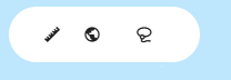
Map Tools are a compact floating control strip displayed on the map canvas. These tools operate directly on the map canvas and complement the filter bar's attribute-based filtering with spatial, geometry-driven interactions. They contains three tools:
-
Measure (ruler icon) allows users to measure distances directly on the map.
-
Zoom to Global Extent (globe icon) resets the map view to the full statewide extent, useful for quickly reorienting after navigating to a specific area.
-
Lasso (lasso icon) allows users to draw a freehand selection on the map to select or highlight features within a defined area.